Today was a day off from work, so I went out and did a few things that I do not have time to do during the week or the conditions have not been good. One of the things around New Orleans that I am in awe of are the bridges. There are a few bridges that I think are architectural wonders, and some of them have to do with the approaches and traffic patterns as much as the bridge itself.
This post is picture heavy because of the bridges, and today was a day that I could get to many of them easily. The one bridge I was not able to access was the US 90 bridge to downtown New Orleans by the Superdome. There is a home game today and there are FAA flight restrictions in place and we do not mess with those. Not worth the fine and loss of license. That bridge may make a nice evening or early morning shoot, so we may see that before the end of the week anyways.
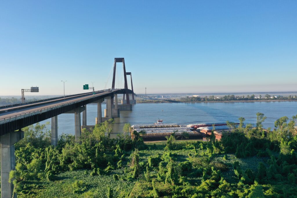
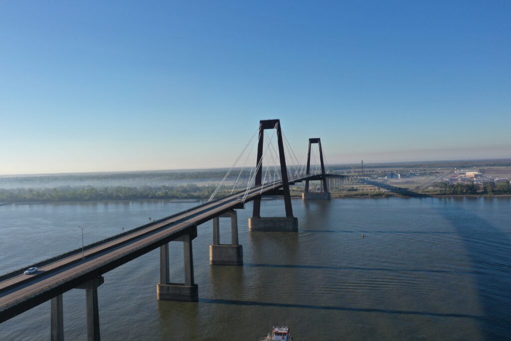
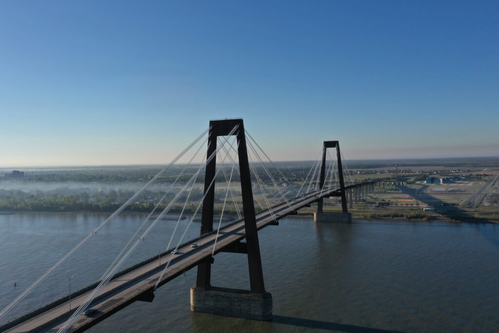
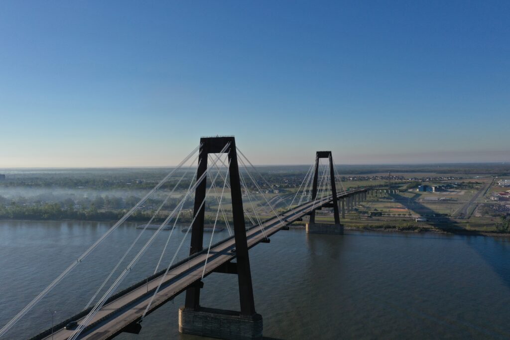
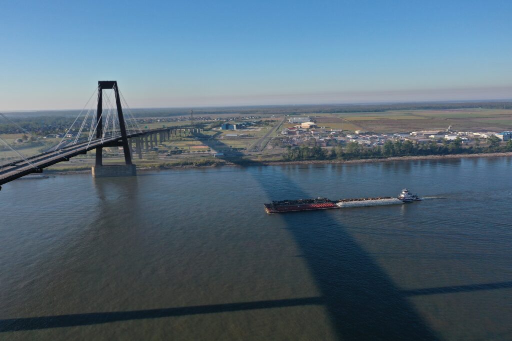
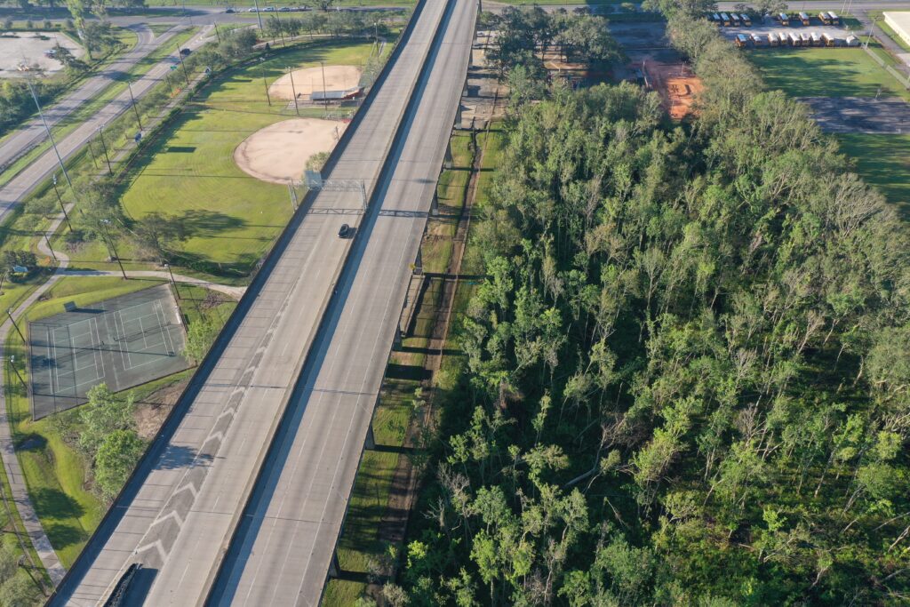
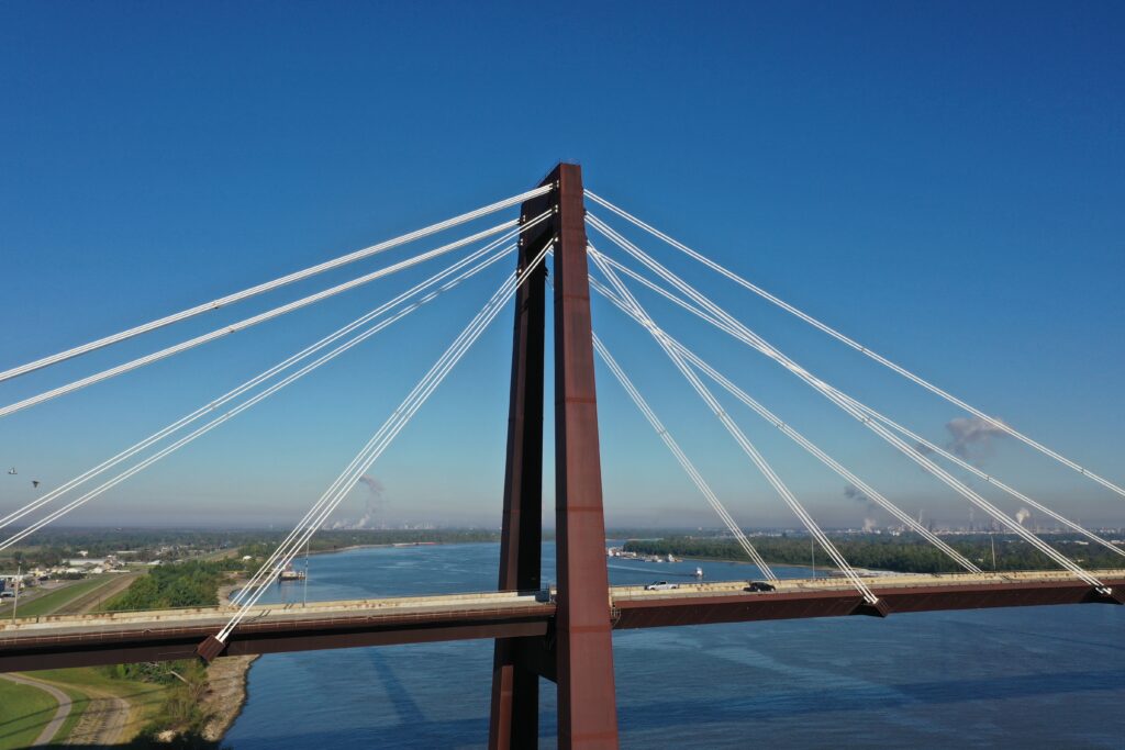
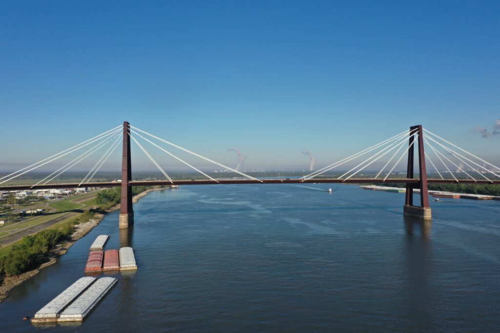
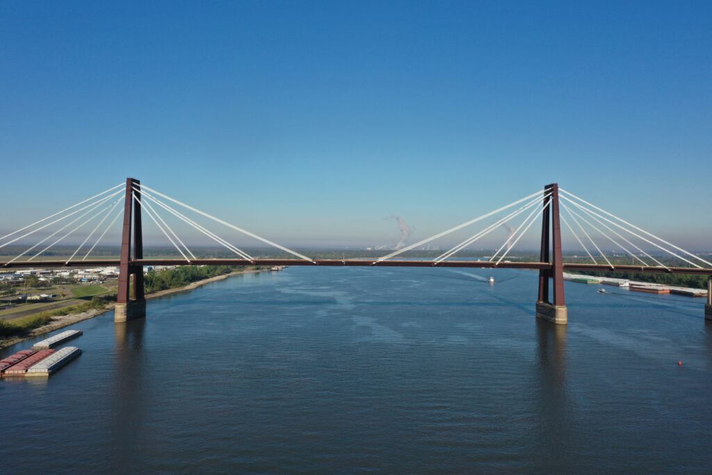
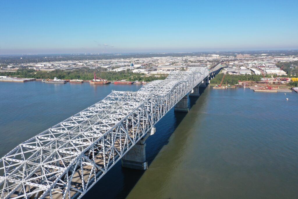
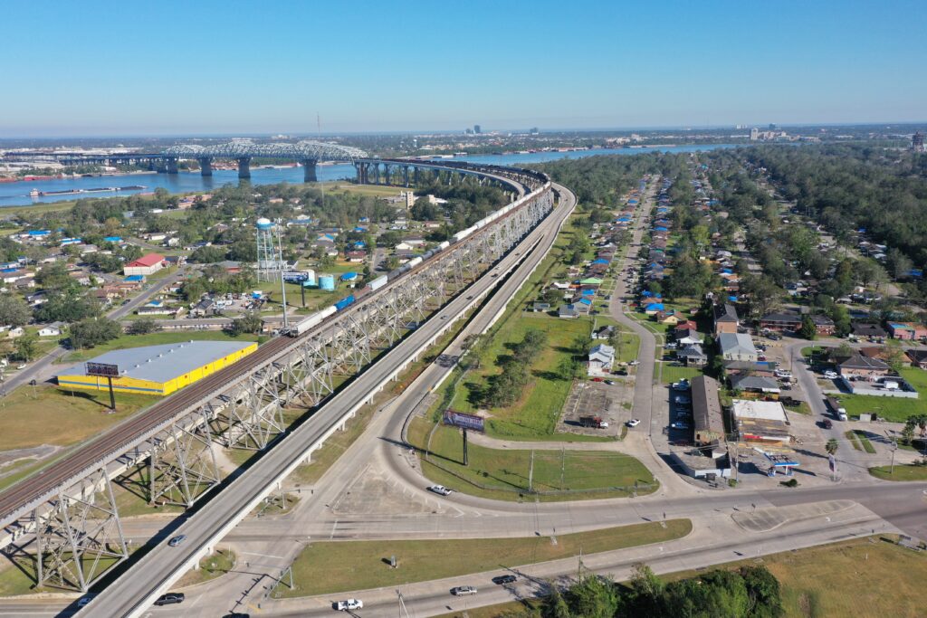
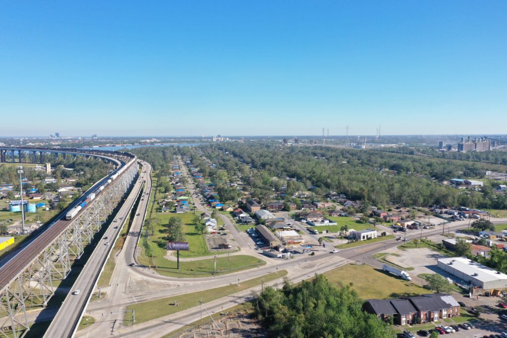
So, I started off my day with the I-310 bridge headed South over the Mississippi at East Bridge Park. Had to request ATC clearance for this flight as I was in controlled airspace. It’s no major deal, automated, through LAANC. Here are some of my pictures, note that all of these are unedited, no adjustments have been made for lighting or anything else.
From the same park here are a few Panoramic 360 views. One from over the Mississippi river and one from over the access road on the North side. The ramps are sort of cool.
Make sure on the two following pictures you click into them and look down. Again, the access roads are sort of cool.
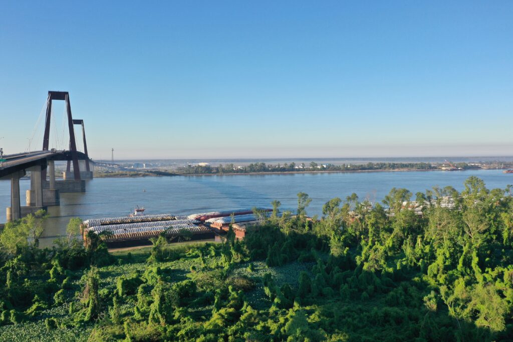
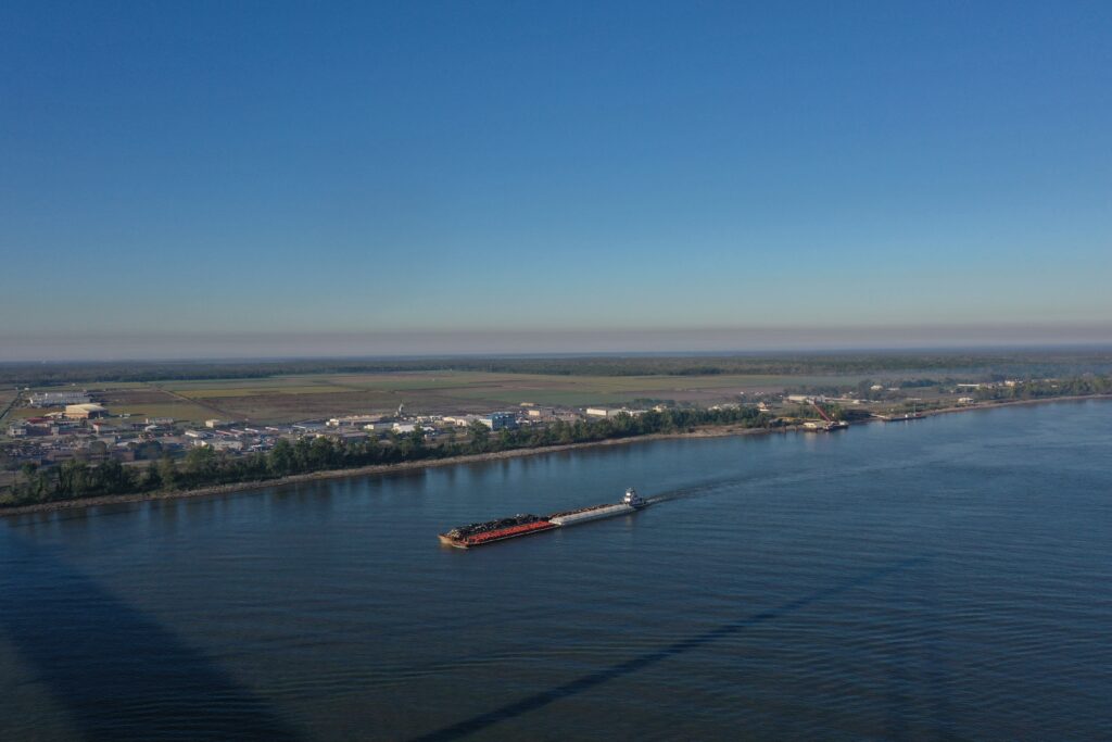
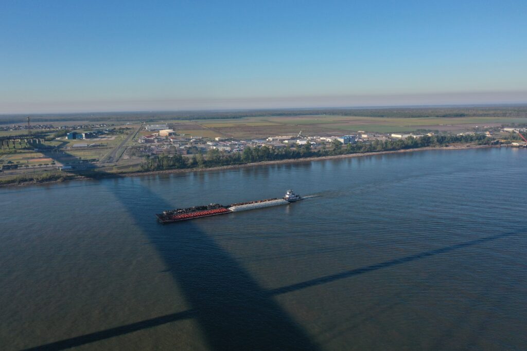
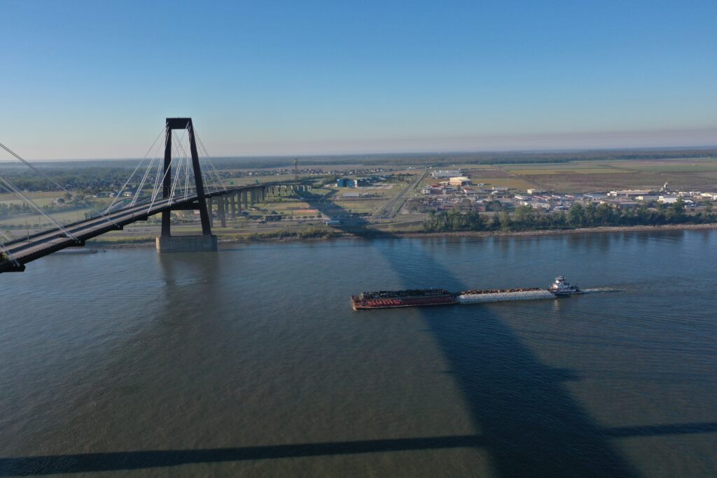
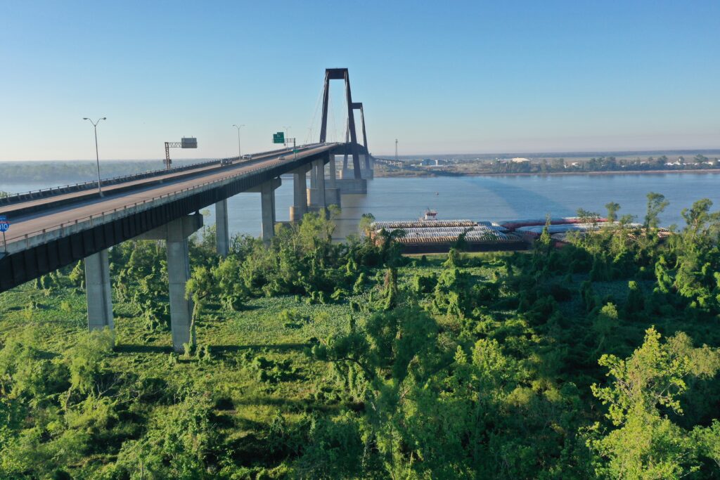
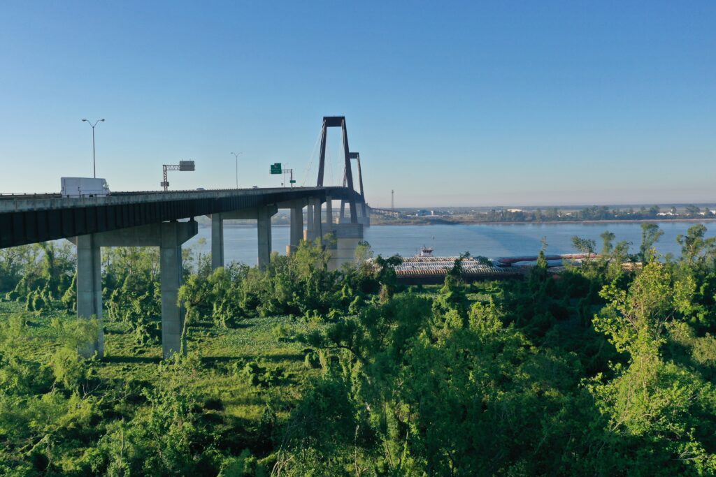
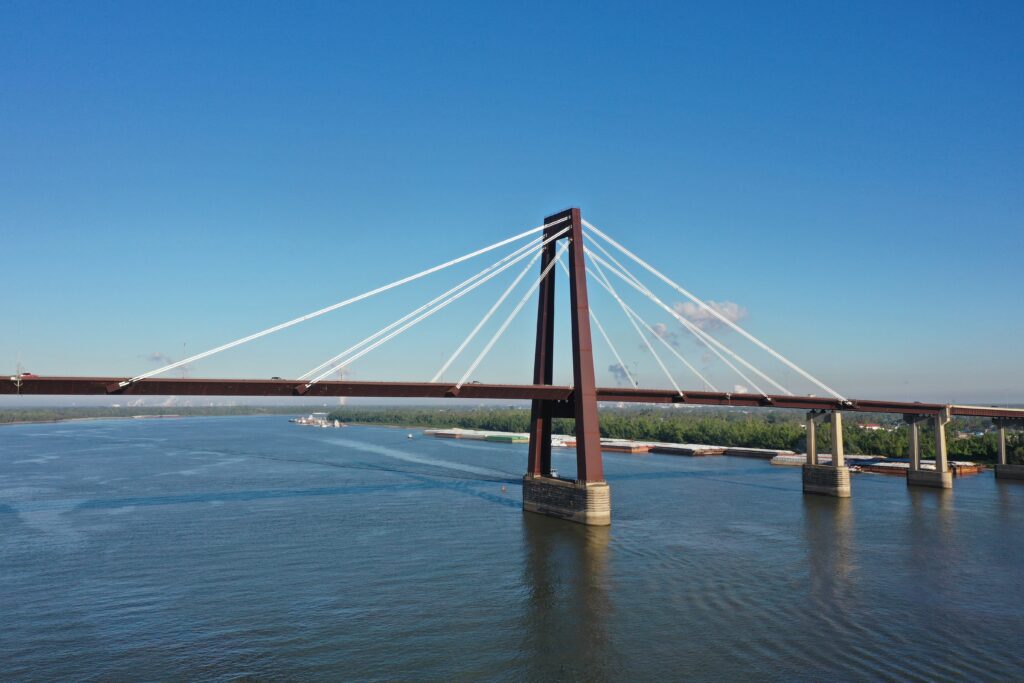
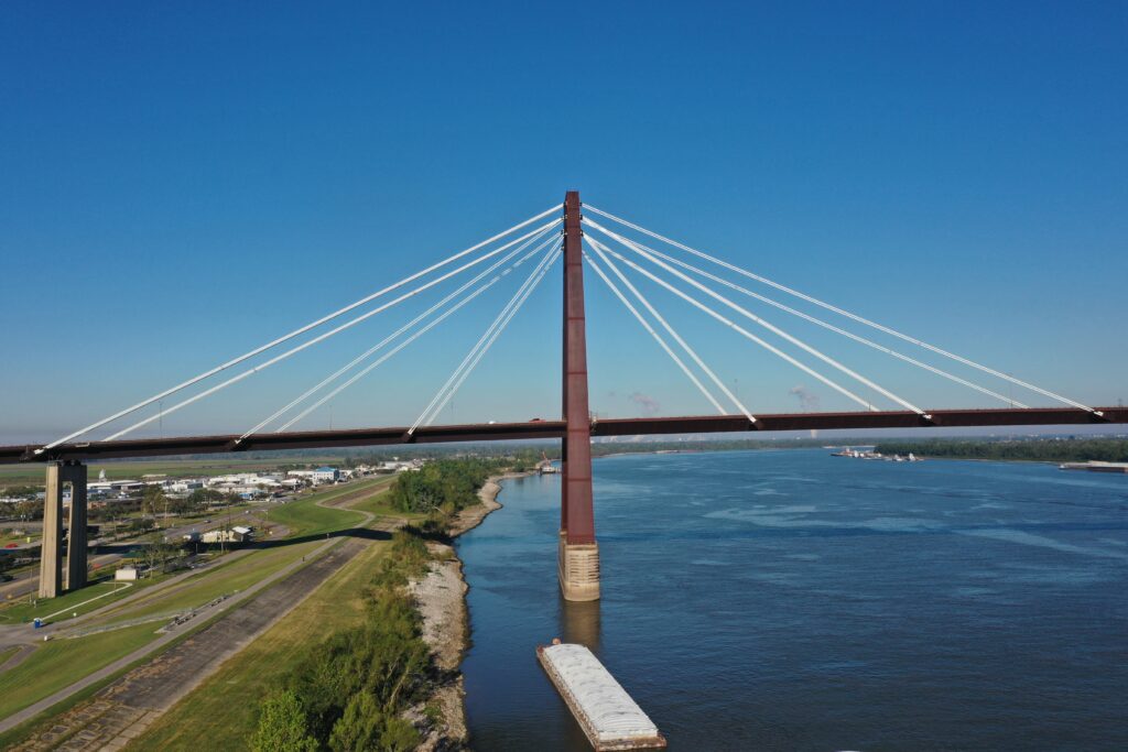
The next stop was at the South side of the bridge, at… you guessed it, West Bridge Park. I wanted to get a slightly different view of the bridge and river.
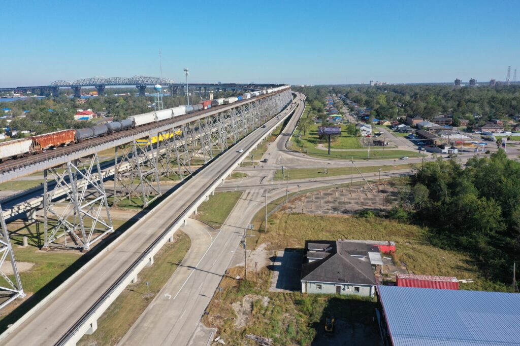
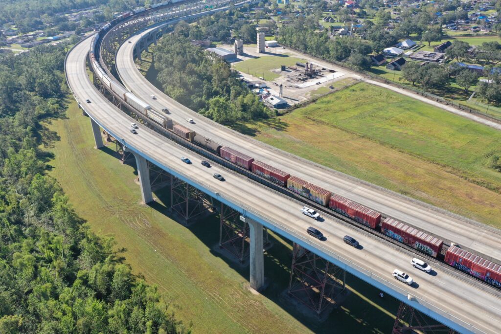
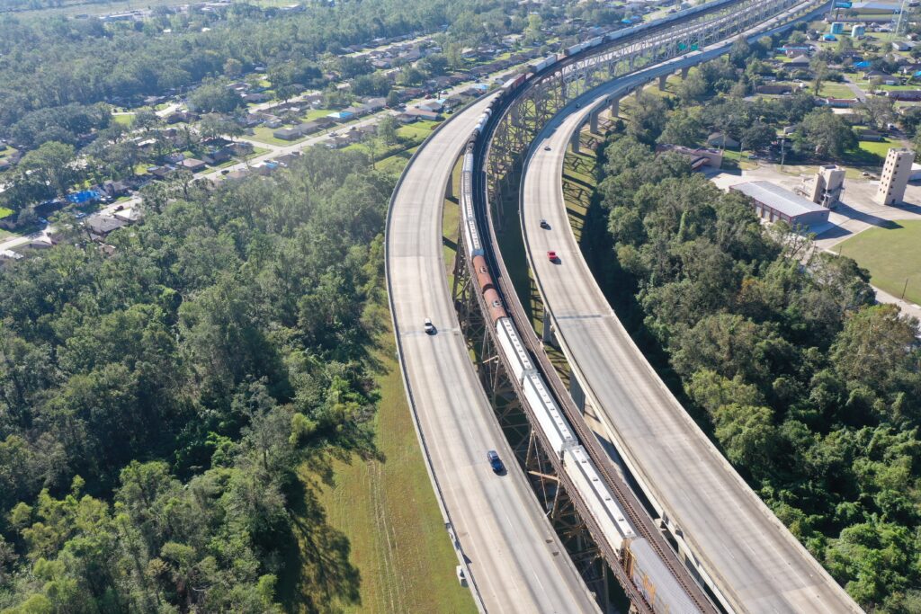
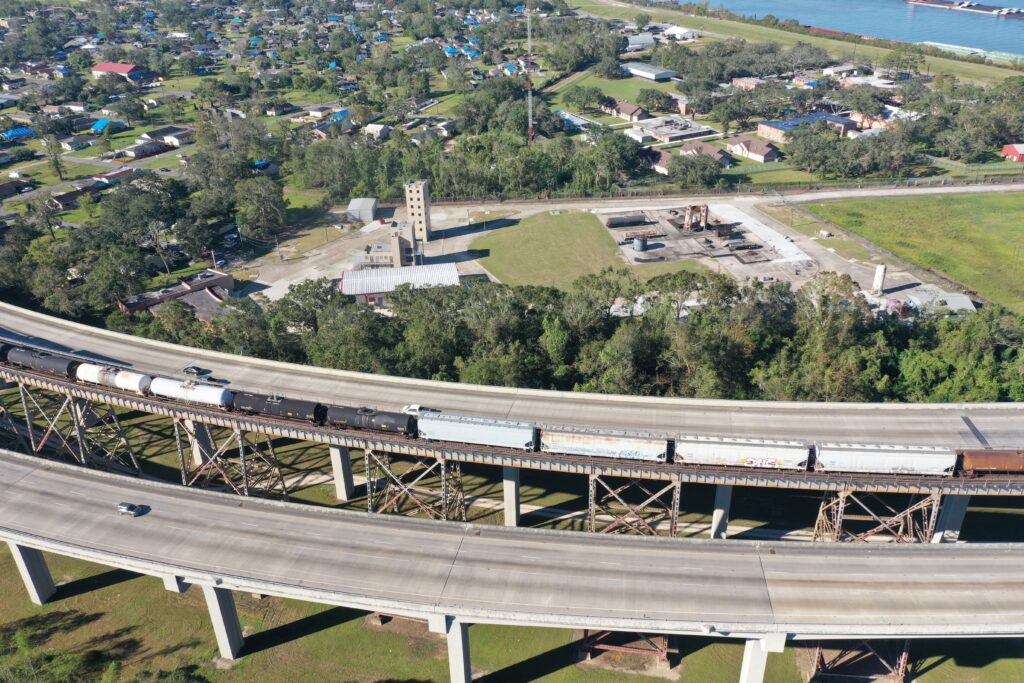
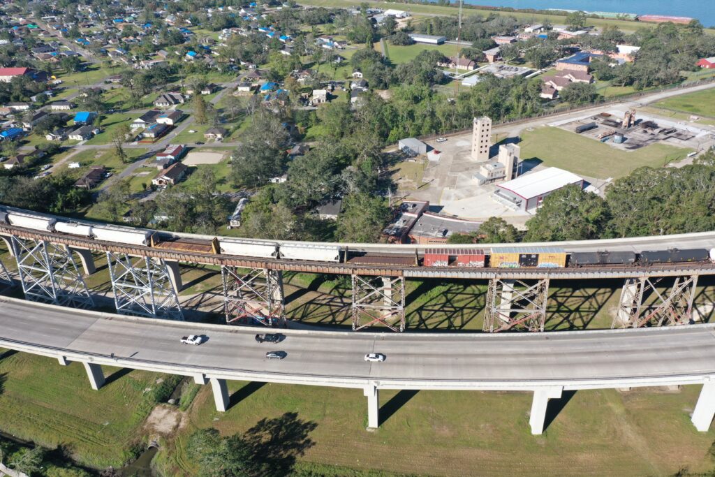
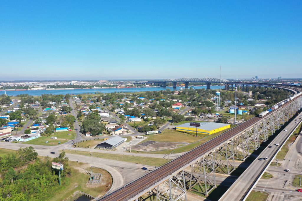
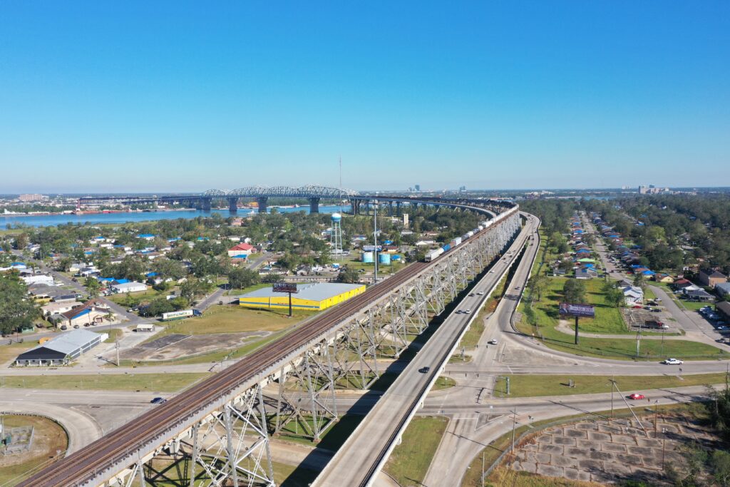
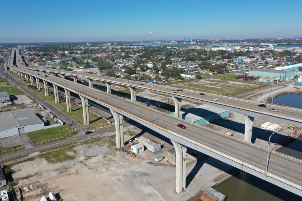
The next stop on my bridge visits was in Bridge City, LA. You guessed it, the city is named after the bridge. When you look at these pictures you can see why Bridge City is so cool. The traffic North and South is routed on the outside of the railroad tracks on the bridge. The train has at least a 4 mile approach grade to the bridge and then a similar grade on the other side, where the traffic does not. Thus the ramps join at the bridge level but from various angles.
And here is a neat panoramic view of the same area.
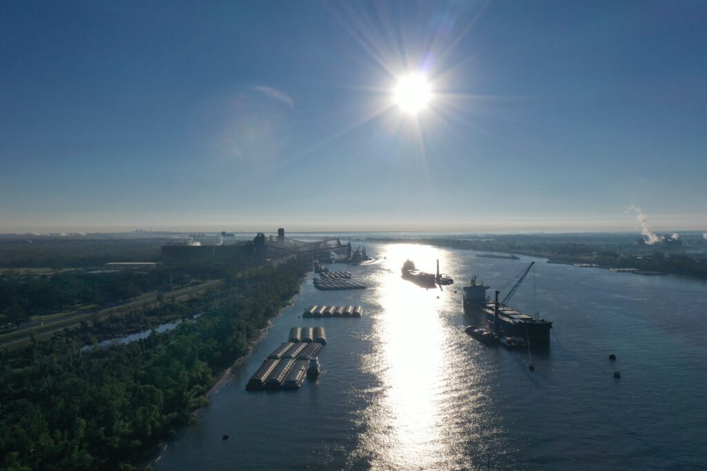
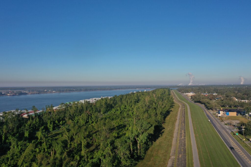
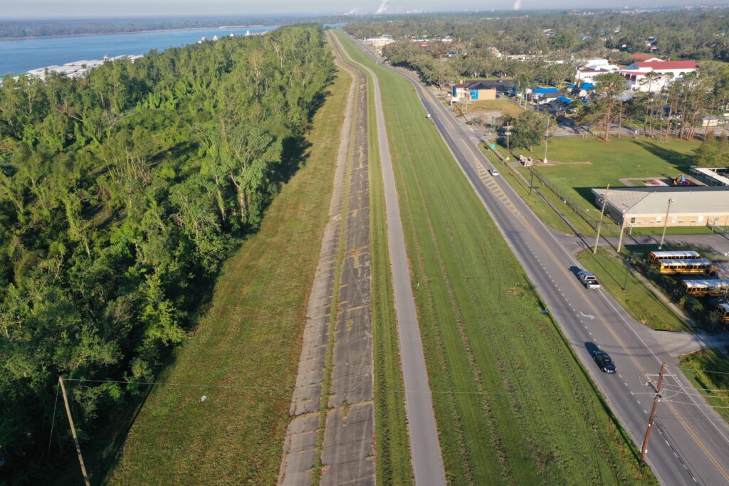
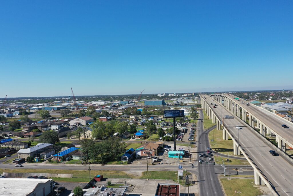
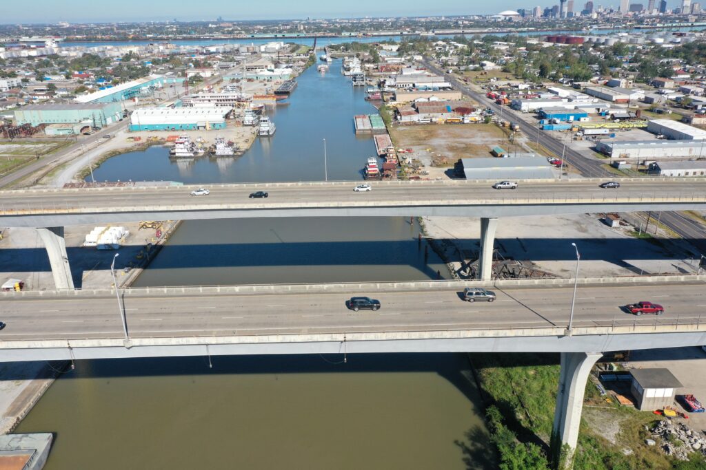
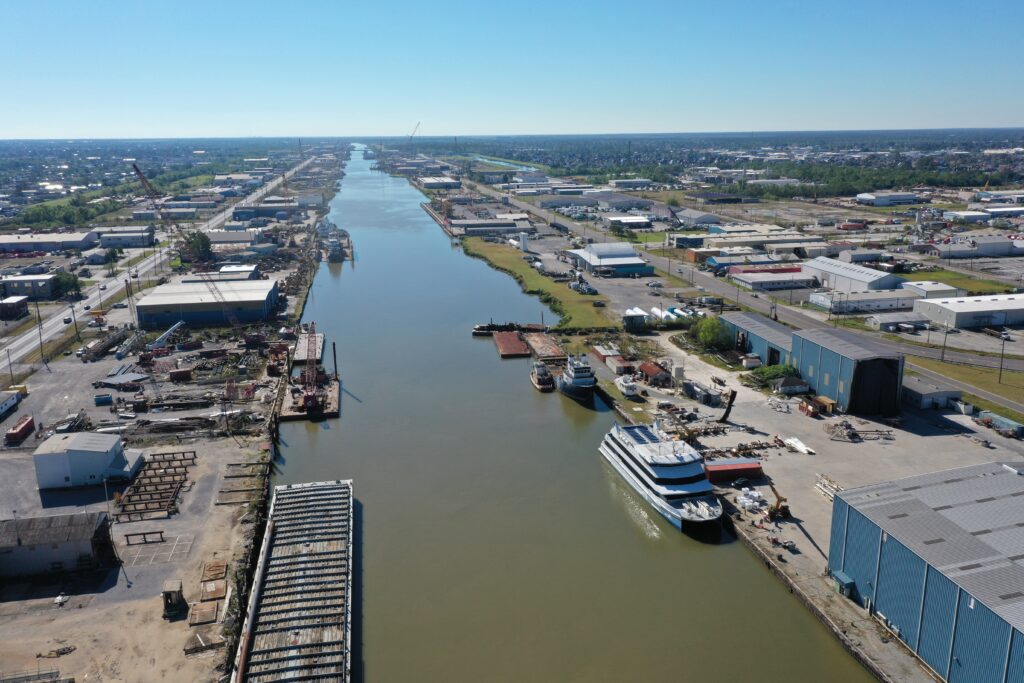
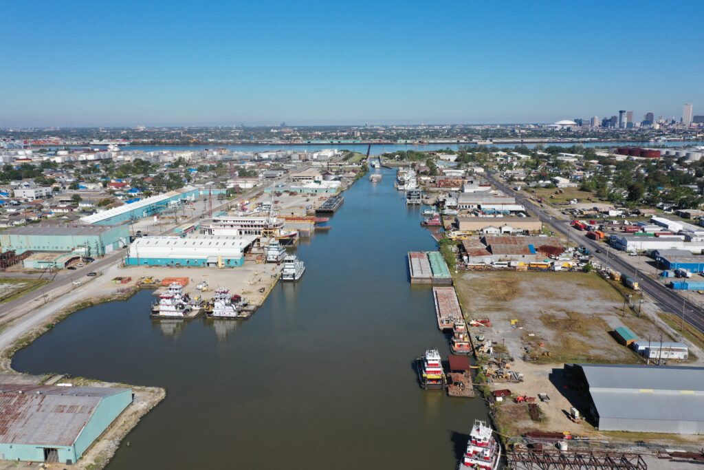
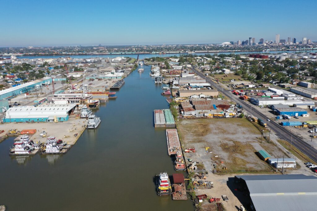
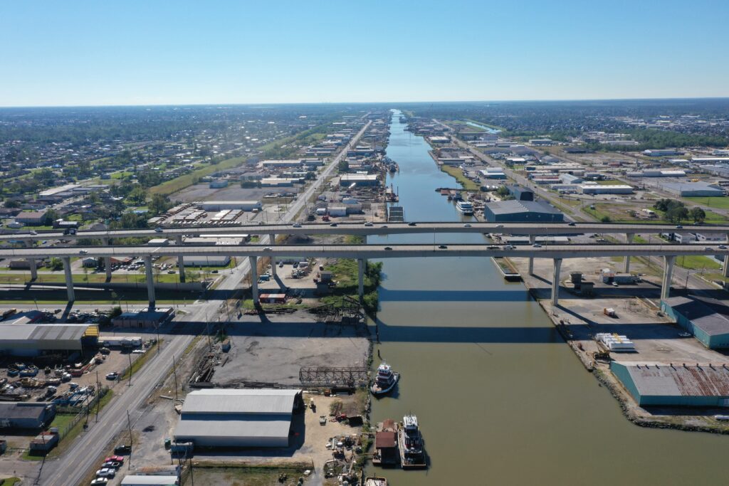
Moving on from Bridge City I headed East on Business 90 and came across the Henry Canal bridge. After finding a safe place to park and fly I spent some time exploring the canal and bridge from the air. This bridge is nothing really neat to look at, but the canal itself and it’s connection to the Mississippi to the North is neat. Very busy seaport area.
And I took a few panoramic shots from the same area. Make sure you click into them and look around.
And…. that was my morning. Now off to visit some friends and then perhaps I will have some more to show off afterwards. Much depends on where I end up.
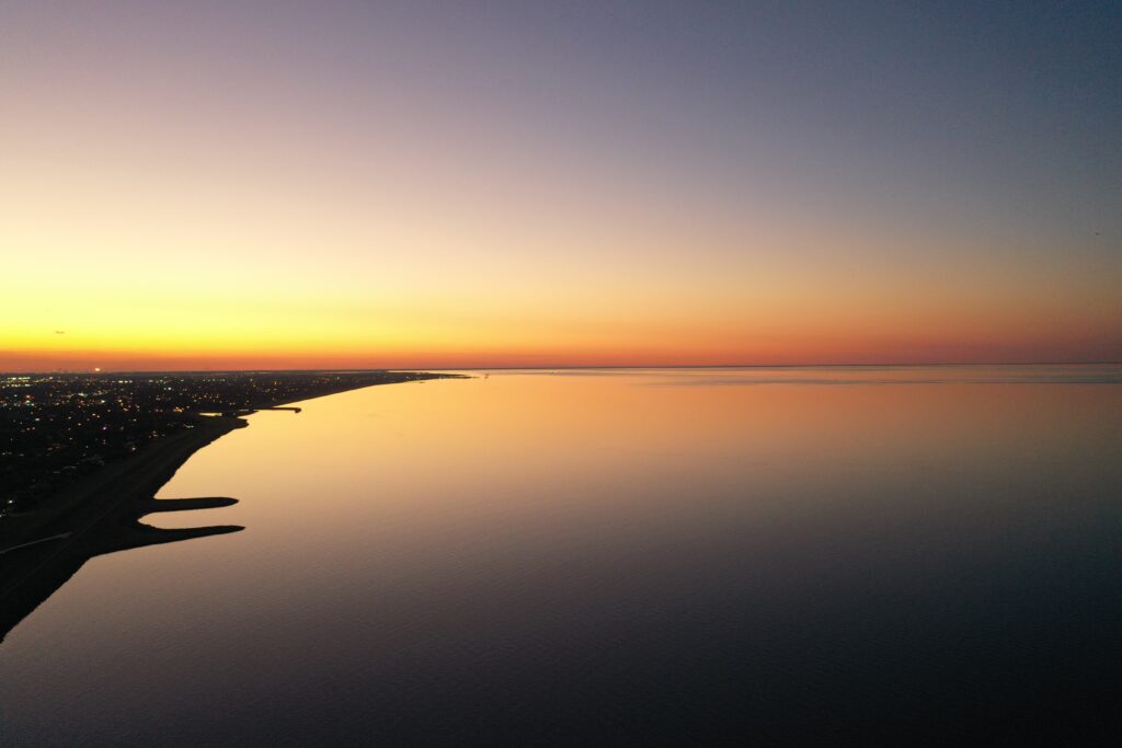
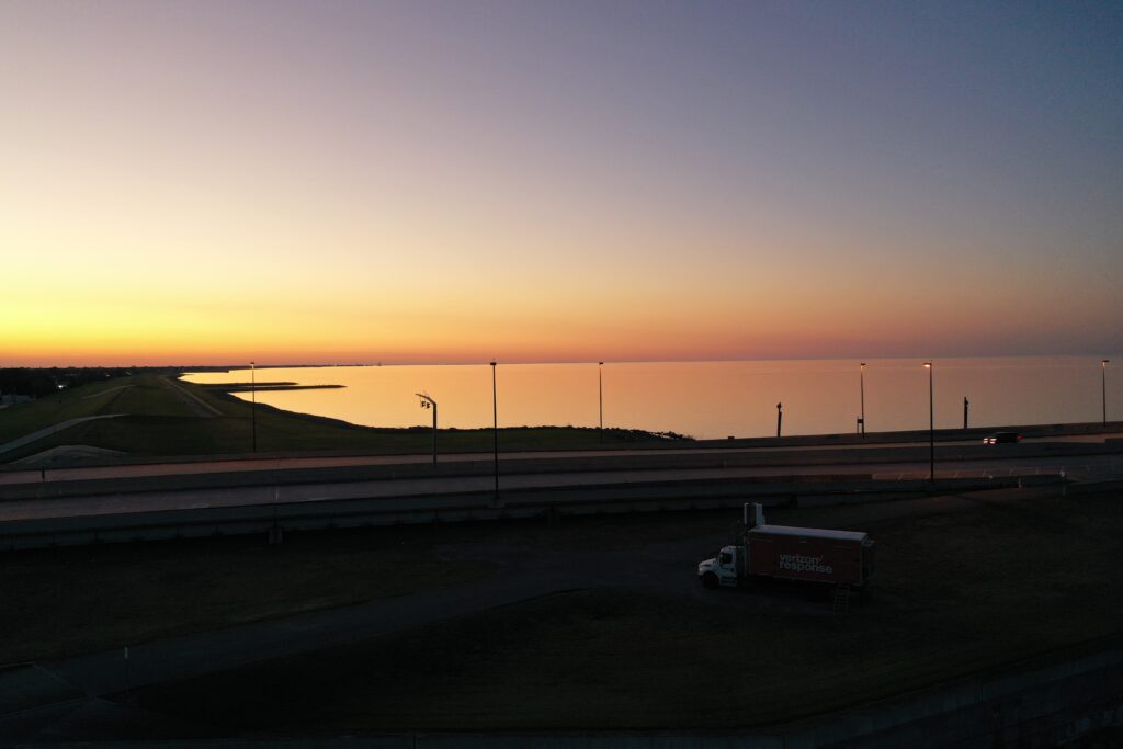
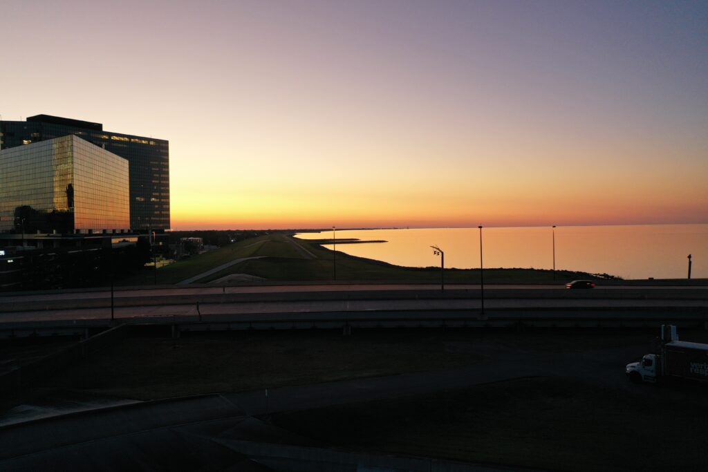
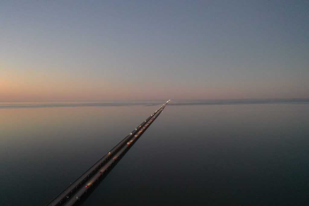
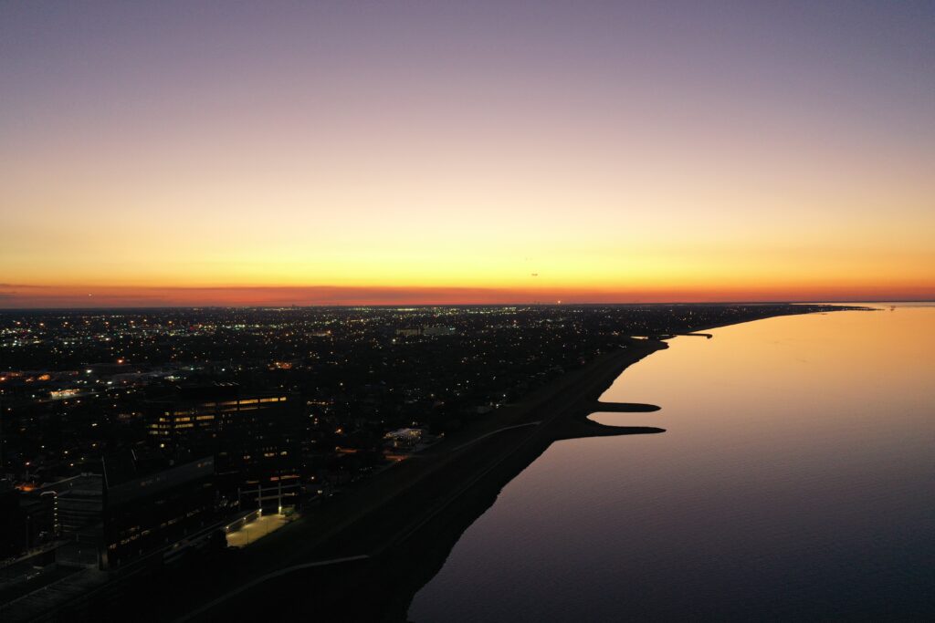
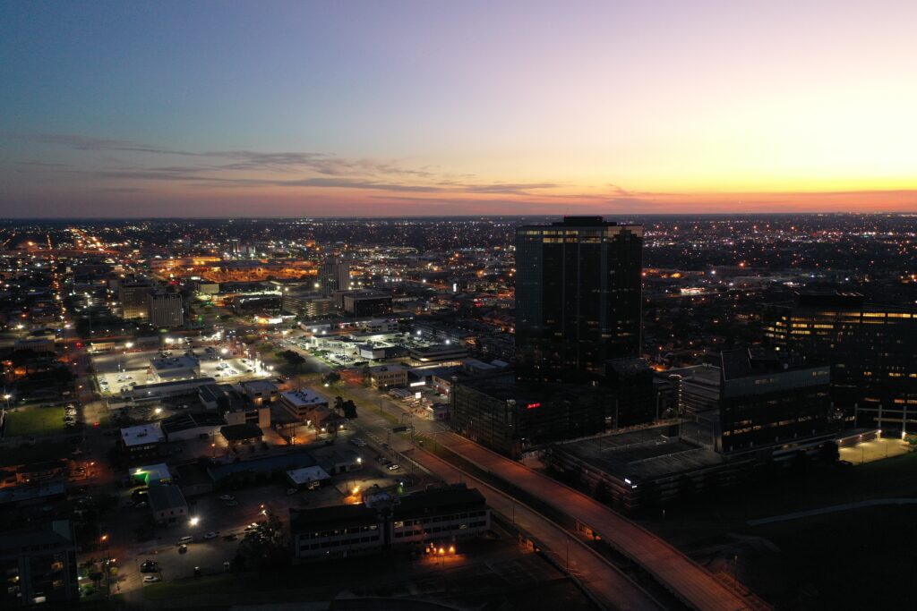
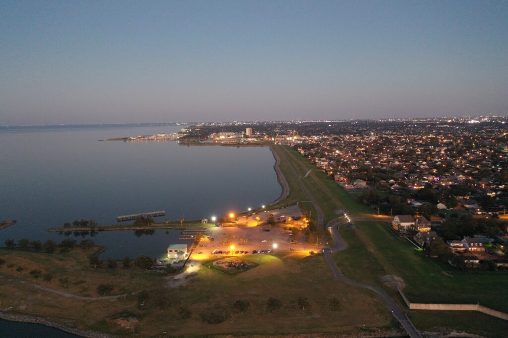
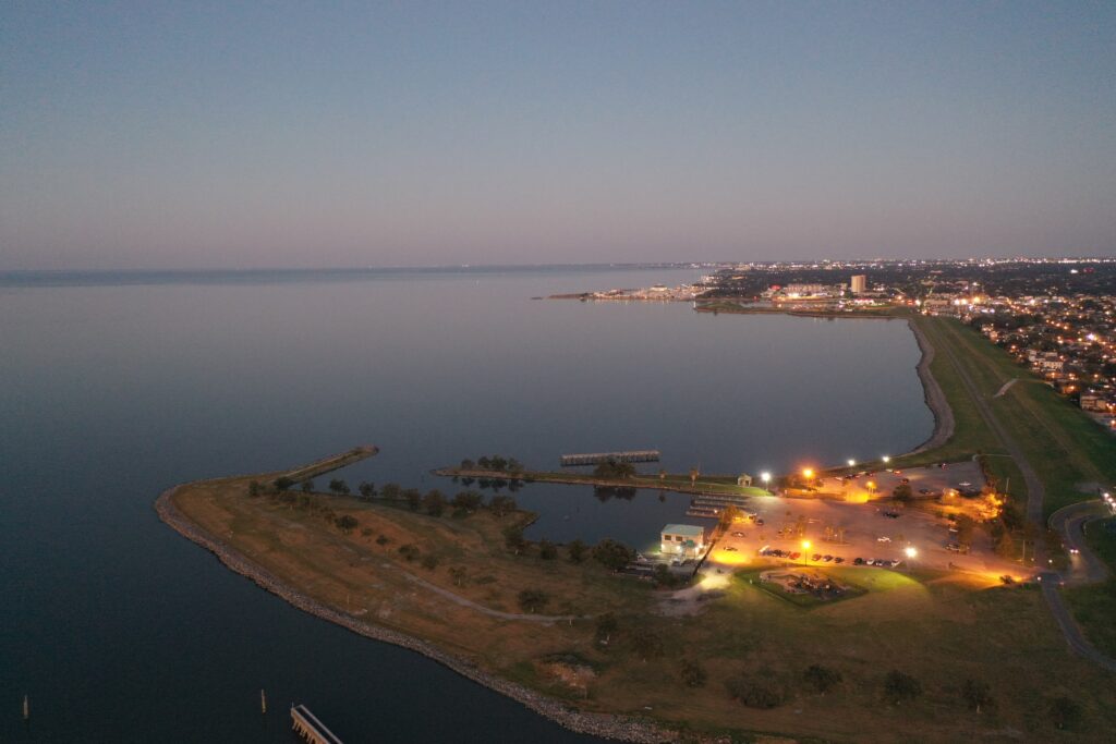
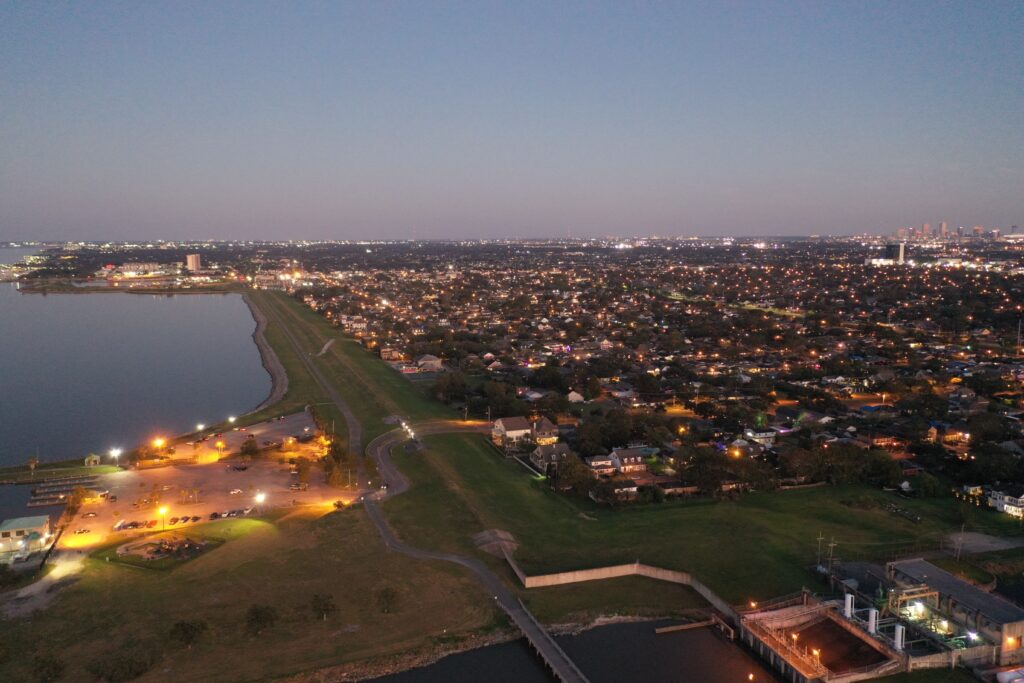
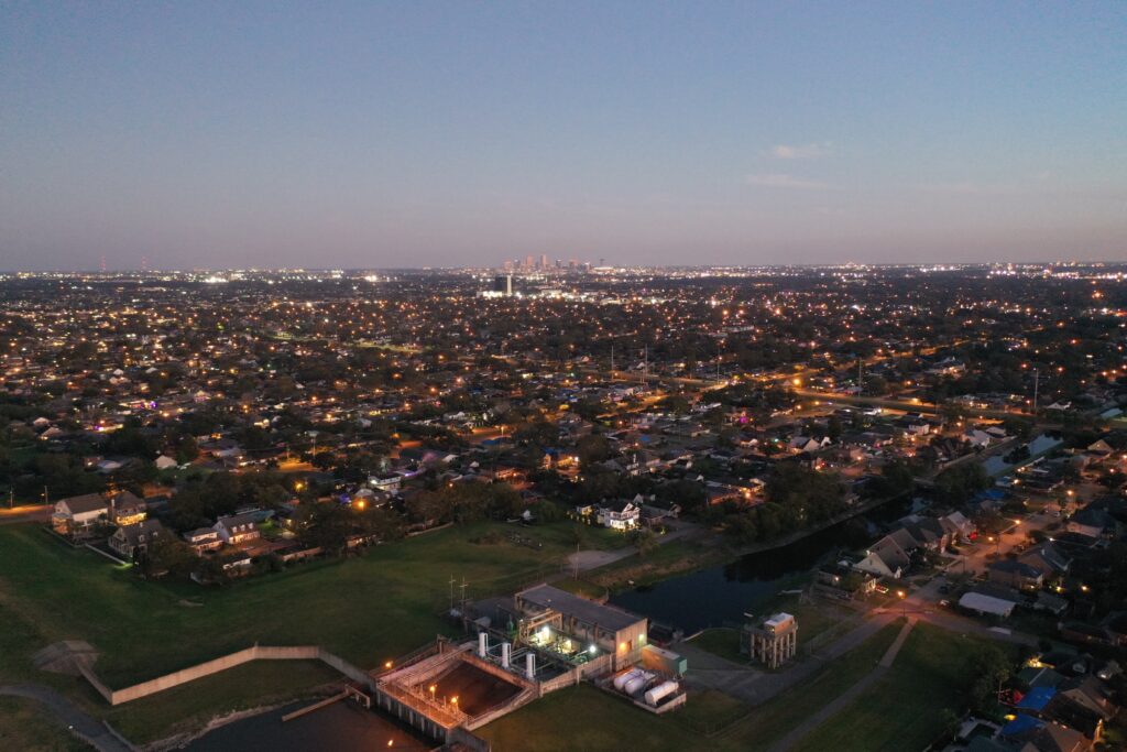
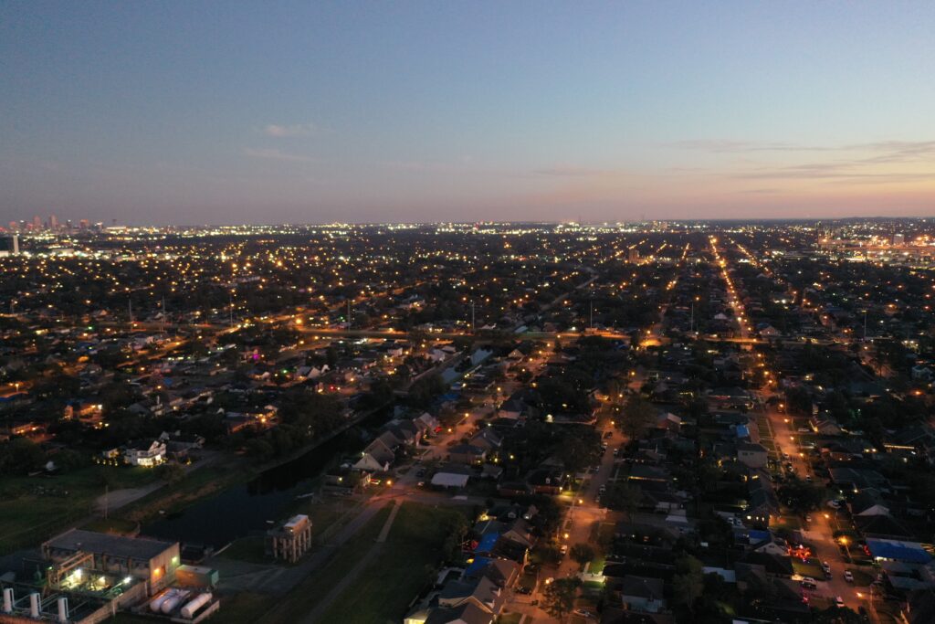
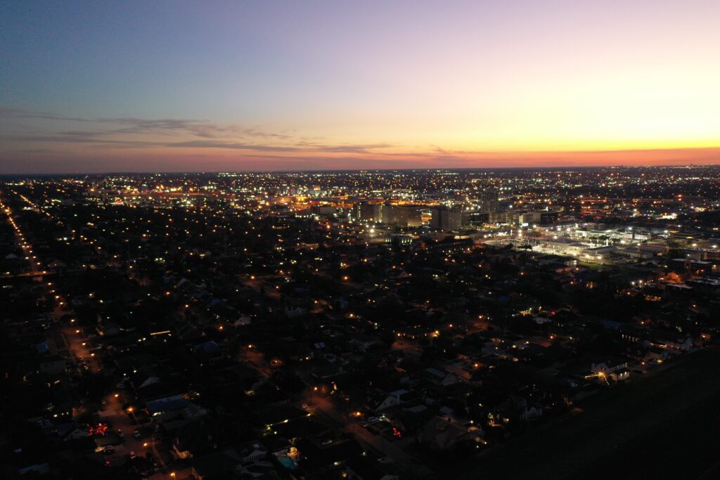
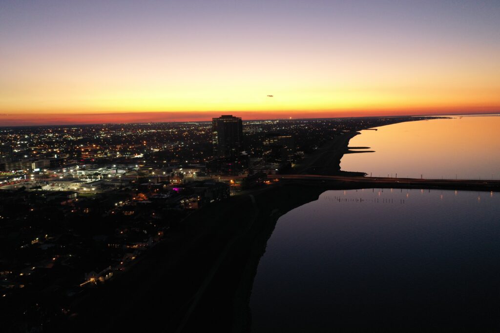
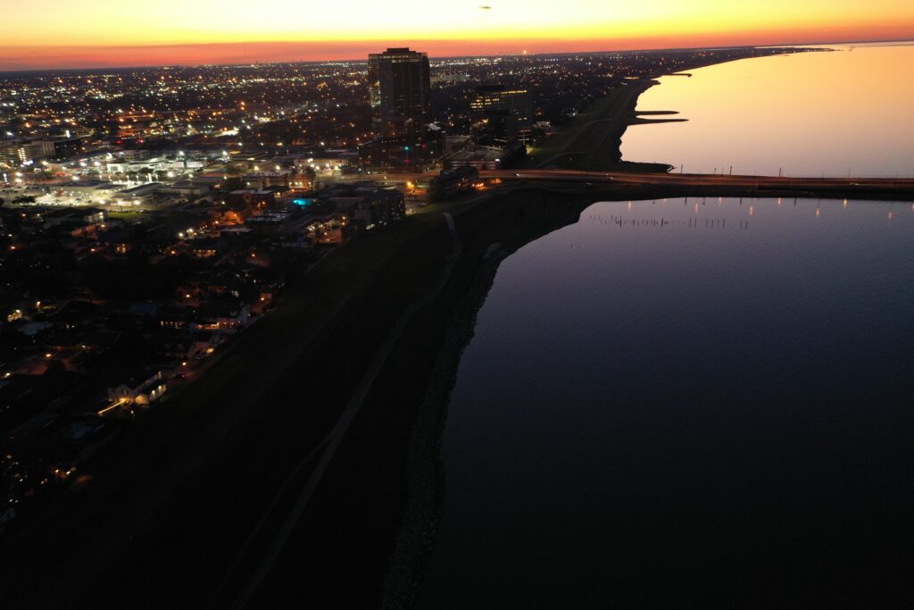
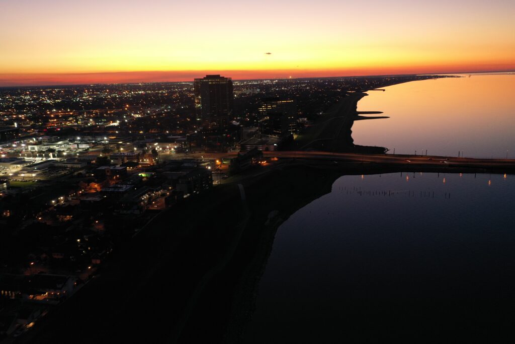
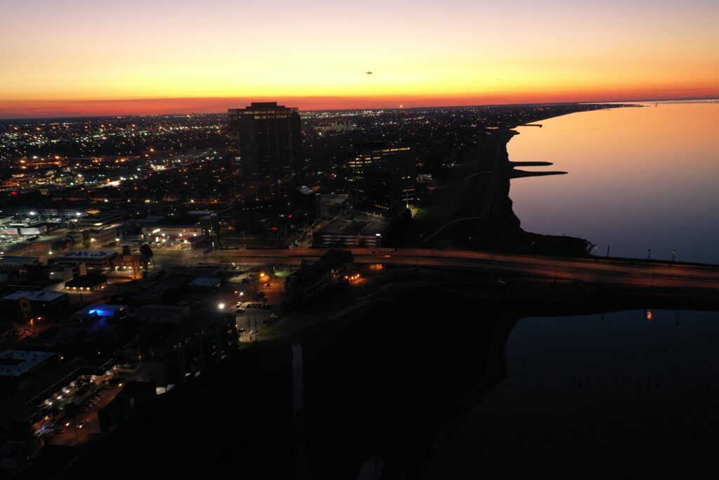
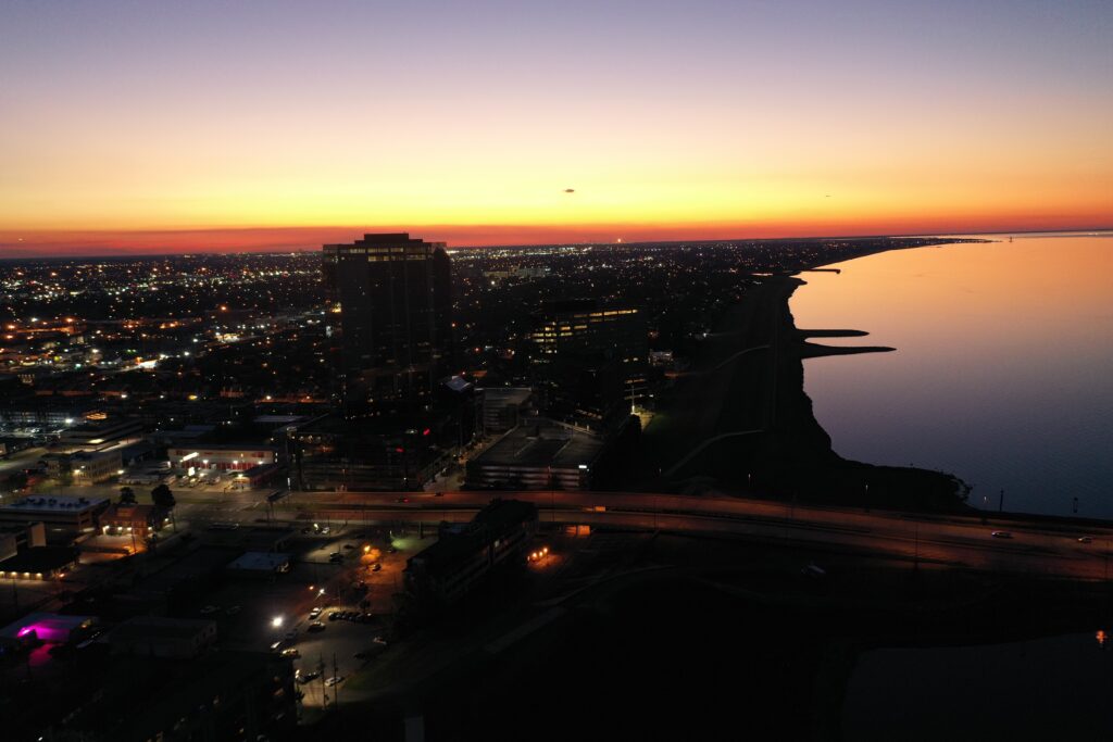
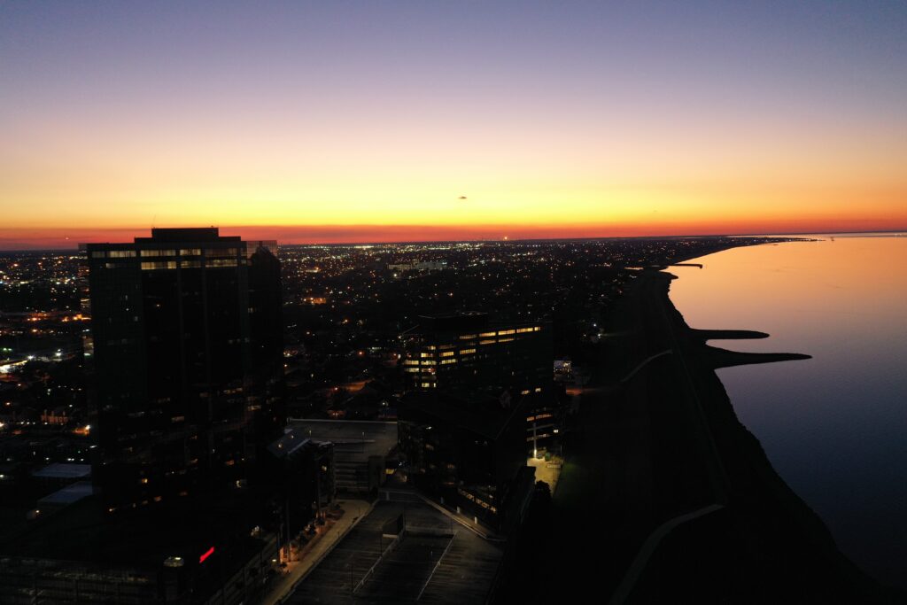
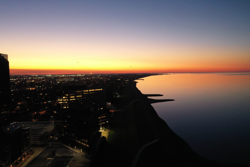
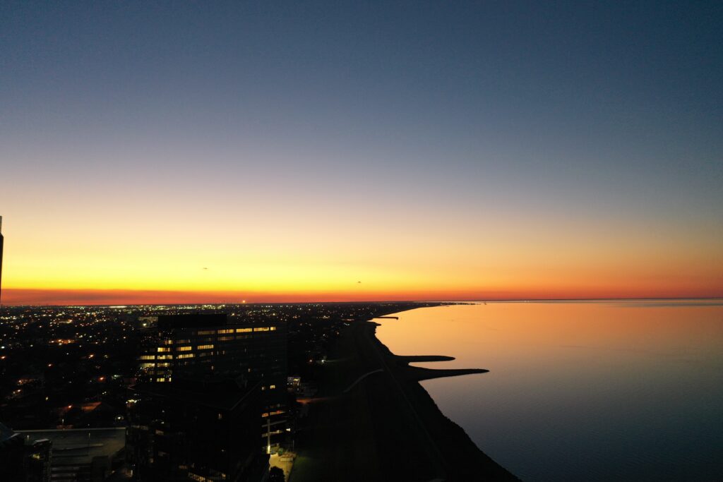
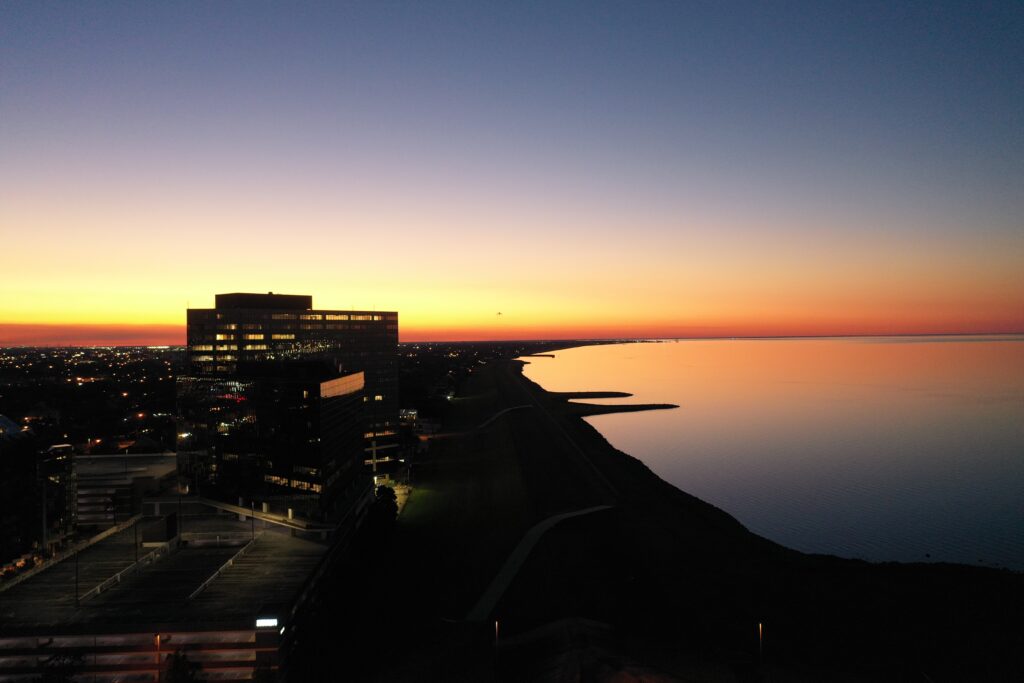
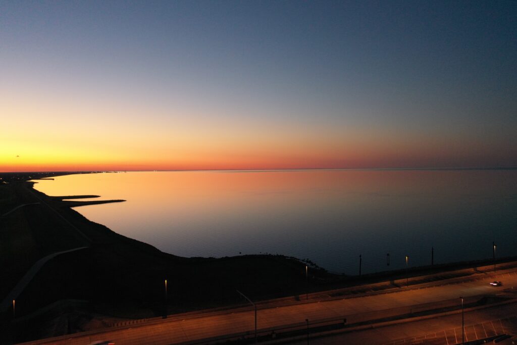
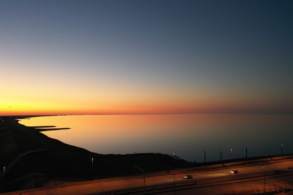
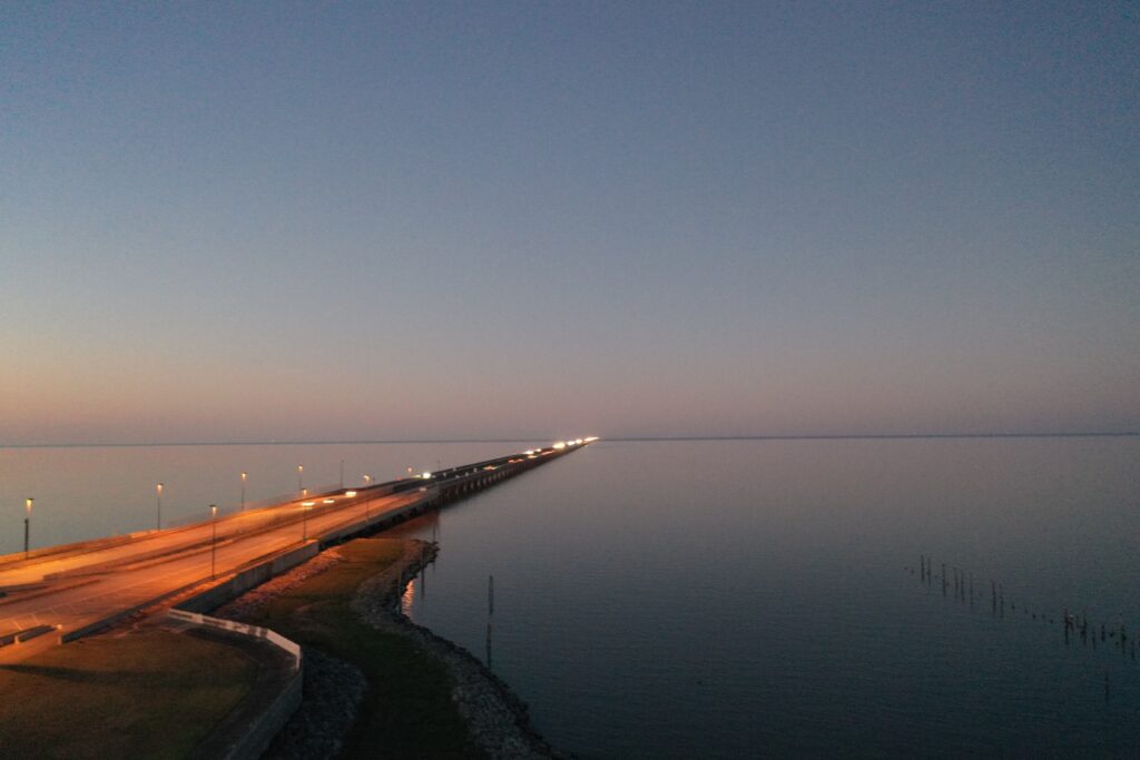
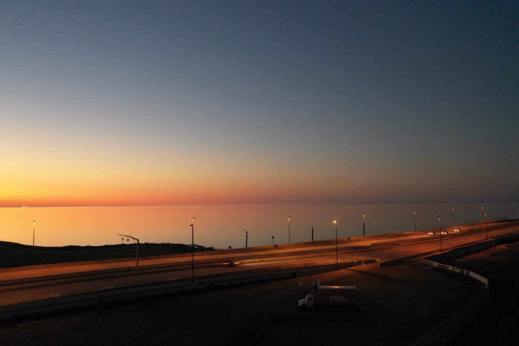
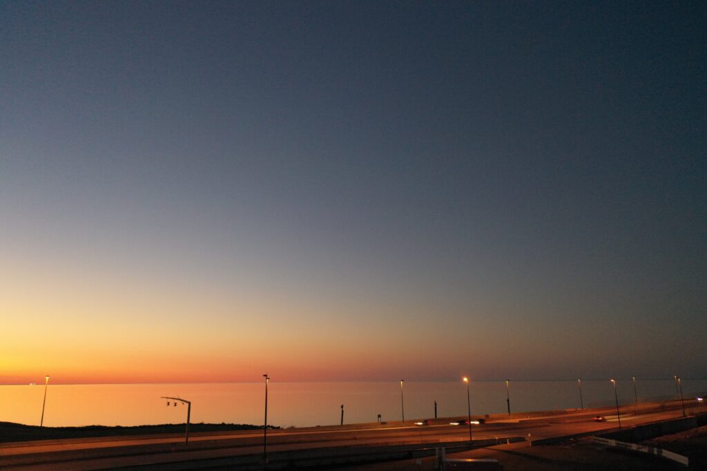
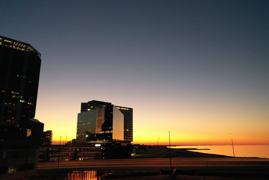
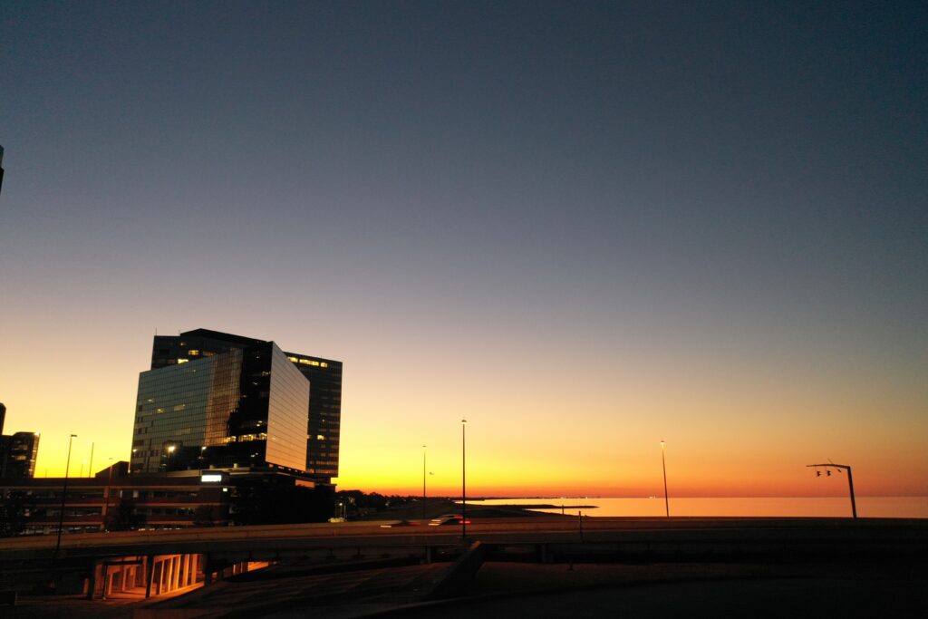
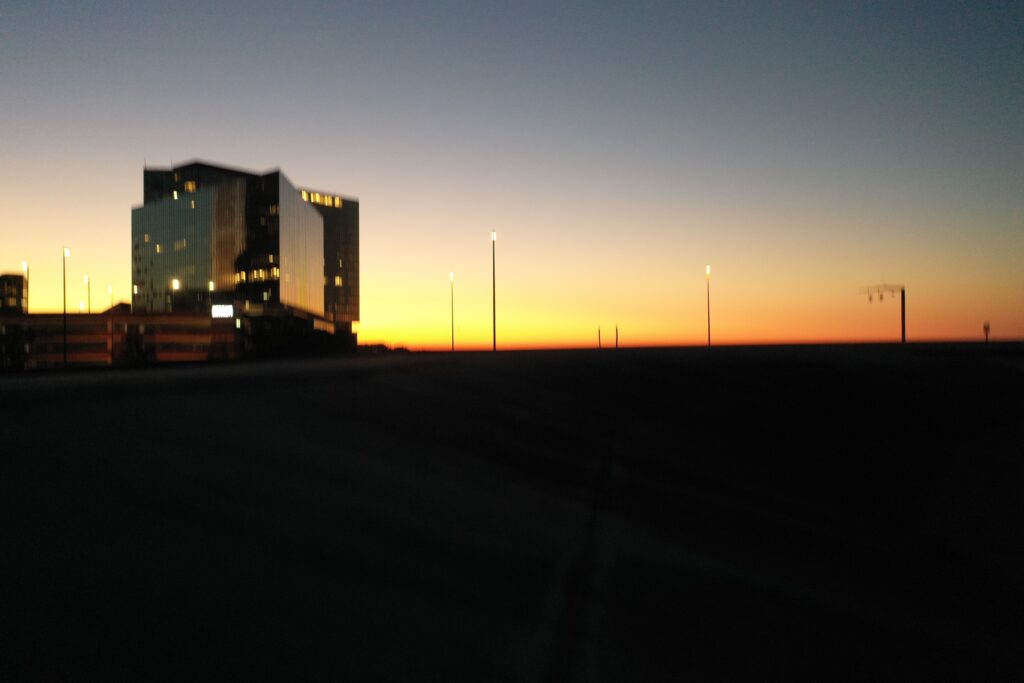
I came back across the causeway right at sunset. It was a perfect opportunity to get some sunset shots of the city, the bridge, the lake, and a combination of the above. So, after getting my ATC approvals (I am a good boy when it comes to following the rules) I was able to get some really nice shots. These are the collection of my un-edited pictures. There must be one or two in this collection that you will like.


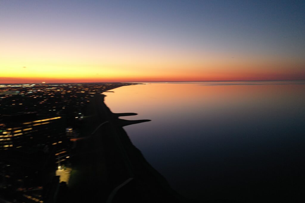
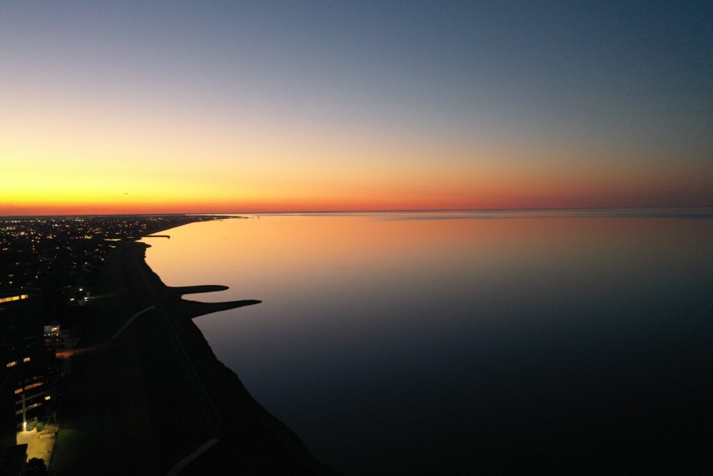
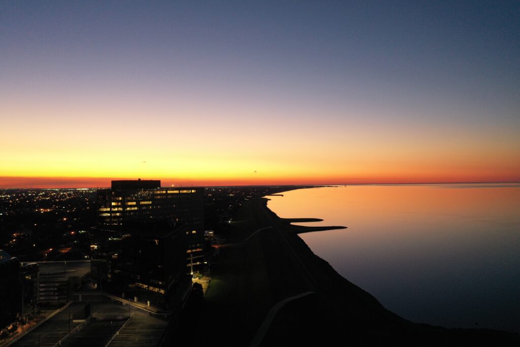
And we have three panoramic 360 images to finish out the day.
And with that, good night! I will see you all tomorrow.